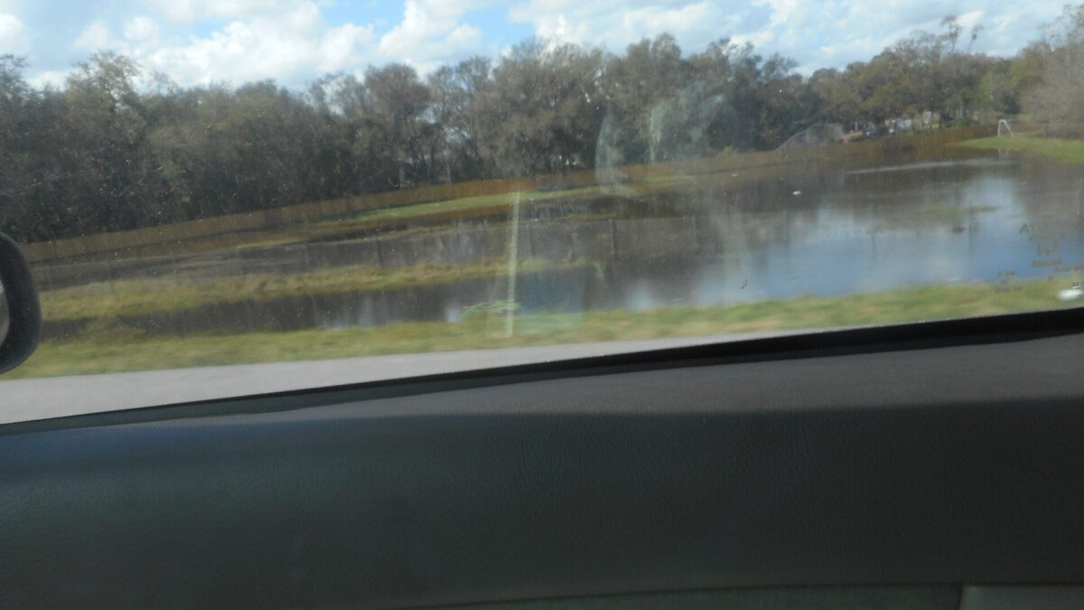
Another soaking is headed for Central Florida. A flood watch takes effect Tuesday for much of East Central Florida and is expected to last through Friday evening as wave after wave of showers moves in from the Atlantic.
How much rain
Forecasters expect 3 to 6 inches or more across parts of the interior through late week, according to WKMG News 6. The coast could see more, with isolated totals of 8 to 12 inches or higher where rain bands keep training over the same areas. Exactly where the heaviest rain falls remains uncertain.
Day by day
- Tuesday: Breezy east winds of 15 to 20 mph with gusts to 30 mph. Rain chances of 20% to 50% during the day climb to 60% to 70% tonight.
- Wednesday: The most concerning day. Rain chances rise to 60% to 80%, and the Weather Prediction Center has placed much of the coast under a Moderate Risk — Level 3 of 4 — for excessive rainfall.
- Thursday: More rounds of heavy rain, with chances again of 60% to 80%.
- Friday into the weekend: High rain chances continue Friday as an area of low pressure forms near the northern Bahamas and moves north, parallel to Florida’s east coast. Rain should gradually ease over the weekend, but coastal and marine conditions will stay hazardous.
Stronger downpours could also bring gusts of 30 to 45 mph and lightning.
How to stay safe
- Never drive through flooded roads. Just 6 inches of moving water can knock you down, and 1 foot can sweep a car away. Turn around, don’t drown.
- Clear gutters and storm drains near your home, and move valuables off the floor in flood-prone areas.
- Have a way to get warnings, such as a weather radio or alerts on your phone.
- Avoid the beach and surf this week; rip currents and rough seas are likely.